The statement of the problem
In 2019, the “Latvian Road Maintenance” operator became a partner of “Waze” within the “Connected Citizens “program and gained access to the flow of waze alert events. Events are available in XML and JSON formats, and each event is characterized by coordinates, insertion date, type, subtype, city and street affiliation, and “Waze” calculated quality scores.
As it is difficult to process the specific XML data files directly, there was a need for a specialized system for filtering event information, achiving, visualizing and analyzing processed events. According to the “Latvian Road Maintenance” order, the specialists of the RTU Department of Management Information Technology specialists : under the leadership of the Associate professor Jānis Kampars, it was developed and handed over to use in the autumn of 2019. The system is used on a daily basis by the “Latvian Road Maintenance” company and Latvian State Road employees.
The overview of Waze report data analysis system capabilities
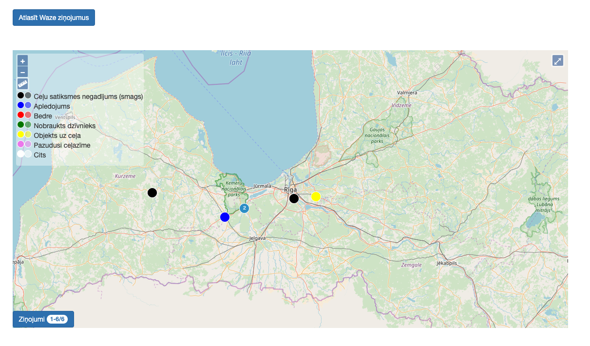
LIVE map
The purpose of the map is to provide an opportunity for users of the system to conveniently view and process the latest alerts from “Waze”. Alerts on the map are automatically updated frequently – every minute.
Alerts in the map
The goal of the map is to allow system users to process messages and perform in-depth analysis.
The density of the map
The purpouse of the map is to allow users to view the concentration of certain types of alerts on the map, thus allowing them to judge where users most often report such things as: pits, objects on the road, icing, and others.
Export in MS "Excel"
The purpose of this section is to provide export of Waze reports to Microsoft “Excel”.
Technologies used
The system is based on open source technologies and open data:
- OpenStreetMap spatial data
- Drupal 8 and Symfony 3 ietvars,
- PostgreSQL databases with PostGIS extension,
- Mapnik map server,
- OpenLayers dynamic maps.


